
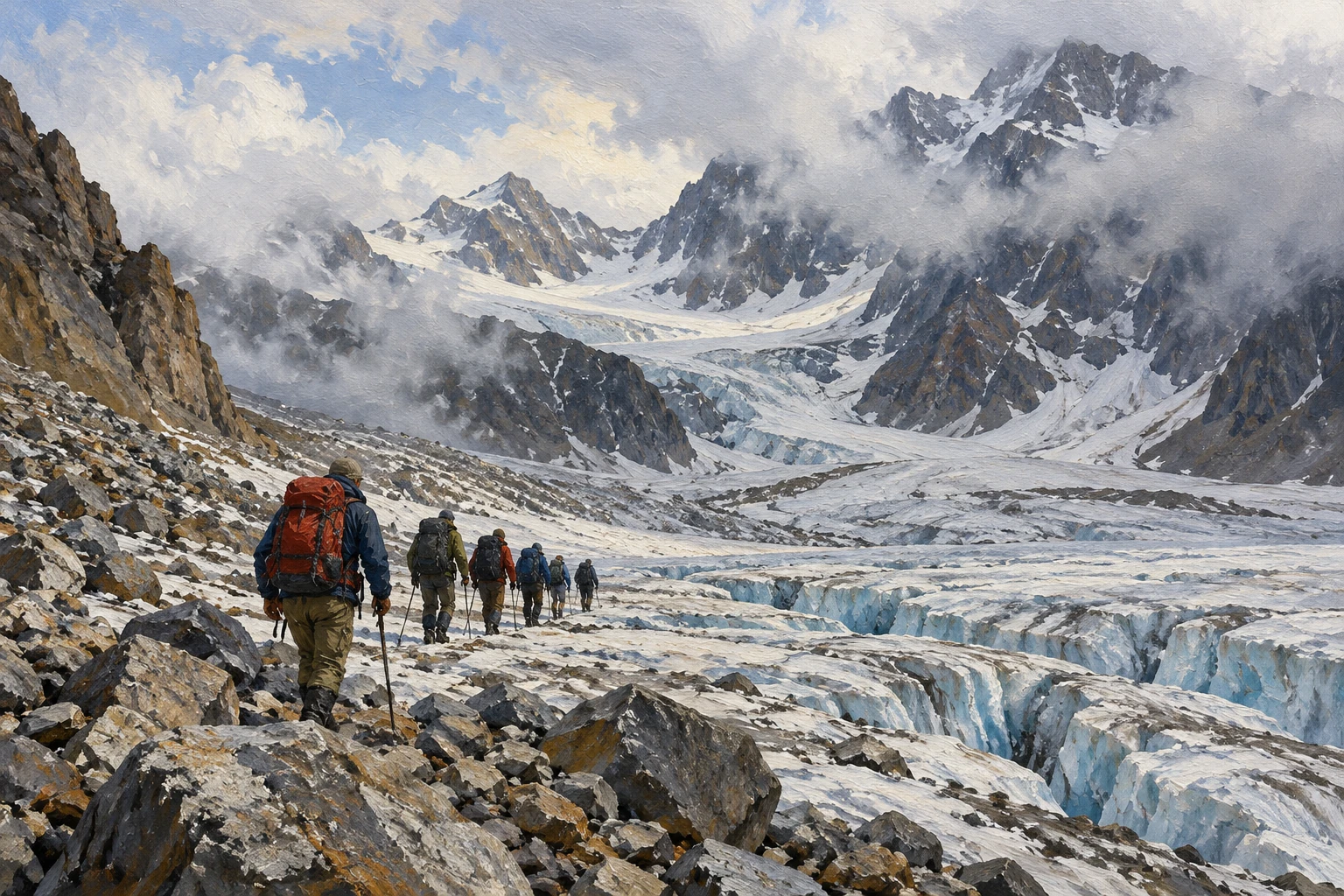
It was a long time ago, but our memory retains the bright pages of our life for a long time. For example, in the summer of 1991, with a tourist group of 10 participants, we decided to visit Topographers Peak in the Big Sayan region. The popular tourist route began right from the outskirts of the village of Orlik. Until 1985, communication with Orlik was carried out via a winter road laid along the valleys of the Irkut and Oka rivers.
It was possible to fly by local aviation, but weather conditions did not always allow this. In 1991, the Okinsky District Council organized a rotational movement based on the Ural vehicle between Orlik and Slyudyanka. One way or another, we arrived in Orlik and, without delay, headed to the ferry crossing across the Oka River, located below. Having crossed, we set out on a path that runs along the valley of the Sentsa River.
The trail is good, it’s relatively easy to walk, we quickly get into the rhythm of the hike. Cattle are driven along this path, so flyers are occasionally found along it. I walked the route we chose with a tour group in 1986, so, knowing the path, we confidently walked towards our intended goal. I will not bore the reader with a detailed description of this path.
How long and how soon we walk through the mountains, but finally we set up our camp on the right side of the Khelgin River valley, under the final moraine on the site of the old camp. There is a ready-made fireplace here and even a protective wall made of stone from storm winds has been preserved. The next day, after breakfast, cooked on the firewood we brought with us, we climbed the moraine. The terminal moraine forms a huge mound that drops steeply into the Khelgin valley, where we are located.
Meltwater from the glacier is mainly filtered through the moraine, and streams flow into the Khelgin River, some streams have dug their way along the top of the moraine. In July 1991, our path lay across the glacier to the Northern Col pass of Topographers Peak. What is our northeastern glacier, one of the large glaciers of the Topographers Peak mountain range? The total length of the glacier is about 2.5 kilometers.
The angle of incidence of the glacier is about 12 degrees, and above the foothill cracks it increases to 40 degrees or more. Having climbed the glacier, we paid attention to the lateral moraines, which were formed from screes of side rocks — mostly small and medium-sized stones. No stones more than a meter in diameter were seen. Having risen here, we found a tour, and in it a control note “Tour of the group of the Leningrad tourist club dated August 14, 1989, who came to the tour from the river Tissa.”
Upon my return, I wrote a letter to the group leader and sent a copy of the note. Here, having written a note, we left it on the tour and turned back, abandoning the ascent. We planned to climb to Topographers Peak from the Northern Col pass along the ridge descending here, and the option seemed real.
But upon careful examination of the rib, it turned out that it was highly susceptible to frost weathering, and the presence of dangerous screes was revealed — it is impossible to climb along it to the peak. The same unfavorable weather conditions: fog, rain. After eating a chocolate bar and drinking hot tea from thermoses, we turn back to the descent towards the Khelgin River. During the day, deep gullies appeared at the end of the glacier, in some places, apparently, to the bottom.
Streams of melt water rush into them noisily, and it even becomes a little creepy. The surface of the glacier looks quite dirty, at the very end it is covered with a layer of loam. Here is one more point that I want to tell you about: the head of the group of instructors at the Kyiv station for young tourists sent me a control note dated September 17, 1984, where the North Col pass is named rather strangely — “Mommy”. In the letter he explains this.
He says that once a group of Kyiv schoolchildren planned to climb Topographers Peak, but the climb failed due to bad weather. On this day, one of the guys’ mother celebrated her birthday. Ion was whining all day long, saying that instead of having fun at the festive table, he should climb mountains, and since there was no note or tour at the pass, the group called the pass “Mommy”. That’s what they said in the note.
That’s the whole story. We return to our camp, prepare dinner, and exchange impressions of the day. Frankly, I’m a little sad about the failed attempt to climb the peak. But overall, the mood of the participants was still cheerful, and after tea it became even better.
We say: “Goodbye, Big Sayan. We will be back! And tomorrow… tomorrow we hit the road again — we leave along the left bank of the Khelgin. I’ll say in closing: I had the opportunity to visit the Okinsky district more than once, and it’s nice that the presence of a reliable highway that connected the areas with the “mainland”, the appearance of cool SUVs that replaced the legendary UAZ, and satellite communication dishes on houses did not, in our opinion, diminish the cordiality and hospitality of the Okinsky residents.
This certainly makes me happy.
@nevsky_alexander
On Instagram: Dubai beyond the postcard — family, the city, discoveries and life between projects. On Threads: thinking out loud about design and AI. On YouTube: videos that need more room than a story. Follow me wherever you feel at home, and let’s keep in touch